Modelling Bushfire Spread
Bushfires are large natural disasters that are very susceptible to changes in the weather. Often firefighting resources are limited and therefore understanding how, and how fast a fire will move is important in prioritising where to place those resources.
In this task you will develop an Excel based model for determining the speed of a fire across a landscape. Your model will take the wind speed and data from a countour map to calculate the time for fire to travel from one point on the map to another. This will involve calculating the length of land it is travelling across between contours using the scale of the map and vertical (Pythagoras' Theorem), and calculating the angle the land makes with horizontal (trigonometry). By considering those factors, as well as the wind speed, the profile of the land can be plotted approximate time can be calculated.
In this task you will develop an Excel based model for determining the speed of a fire across a landscape. Your model will take the wind speed and data from a countour map to calculate the time for fire to travel from one point on the map to another. This will involve calculating the length of land it is travelling across between contours using the scale of the map and vertical (Pythagoras' Theorem), and calculating the angle the land makes with horizontal (trigonometry). By considering those factors, as well as the wind speed, the profile of the land can be plotted approximate time can be calculated.
|
|
|
|
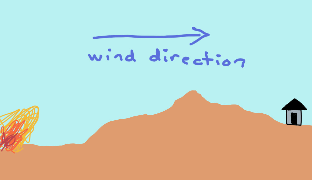
For the sake of ease in looking at this problem we will only consider the situation where the wind is blowing the fire in one direction over the terrain. Therefore the fire is being pushed along by the fire. Given where the fire is now you want to calculate how long it may be before the fire reaches the property.
Scientifically the fire behaviour we will be looking at involves two main rules. These can be found at the articles opposite. One of these is the 10% wind rule, which states that the fire will move at 10% of the wind speed, therefore if the wind is 25 km/h, then the wind will move at 2.5 km/h. The other rule is based on the speed fire will move uphill or downhill. This rule states that for every 10 degrees uphill the fire will double in speed, and will half for ever 10 degree decrease. Therefore a 30 degree (10 + 10 + 10) angle uphill would be 2 x 2 x 2 or 8 times the speed. |
|
Using and Understanding Contour Maps
|
|
|
|
|
|
